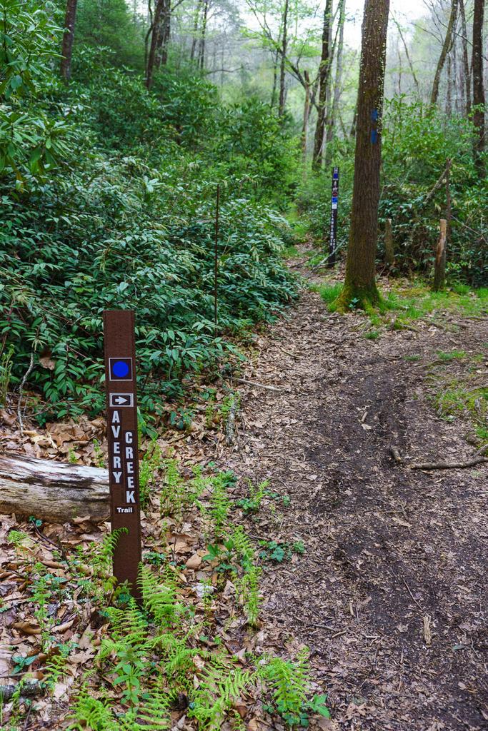
Avery Creek Trail

At A Glance


3.2 mi one-way
Difficulty Rating: 3.2 ![]()
Steepness: Climbs Moderately ![]()
Tread Condition: Moderately Rough ![]()
Blaze Color: Blue
Trail Number: 327
Rides That Use This Trail: Black Mountain
Description
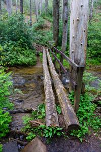
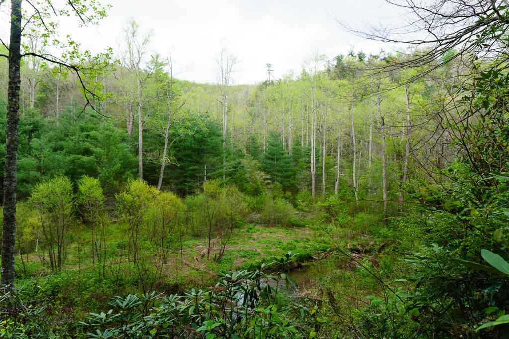
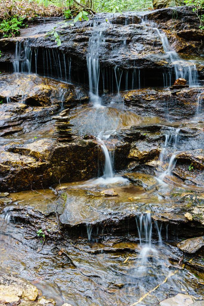
Most prefer to make this a descent - you can use gravel roads in the area to do the climbing. Touches up with FS 5057 making connections over to Buckhorn Gap possible. Very steep, rocky, and technical at the northwest end. Passes through a thinly forested, logged area. Great descent from there; becomes more of a standard creekside trail at the southeast end. It's a nice creek with a fairly large waterfall visible below the trail at one point. Watch for dead hemlocks. There are some nice rhododendron groves and several log bridges. Makes for a bunch of loop options in the area.
Intersecting Trails
This trail is located in the Davidson River area. For a list of all the trails in that area, see the Davidson River trails list page.
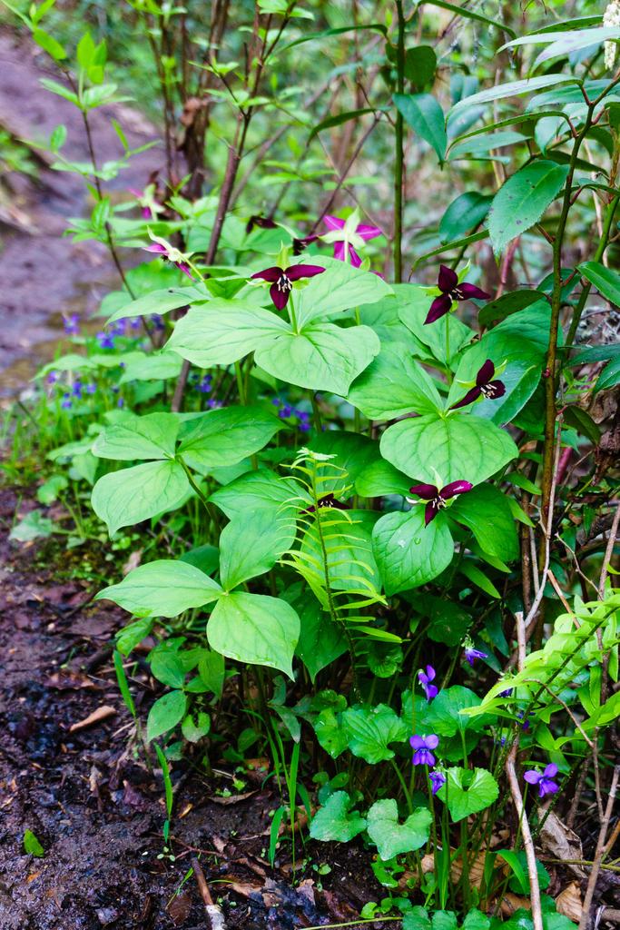
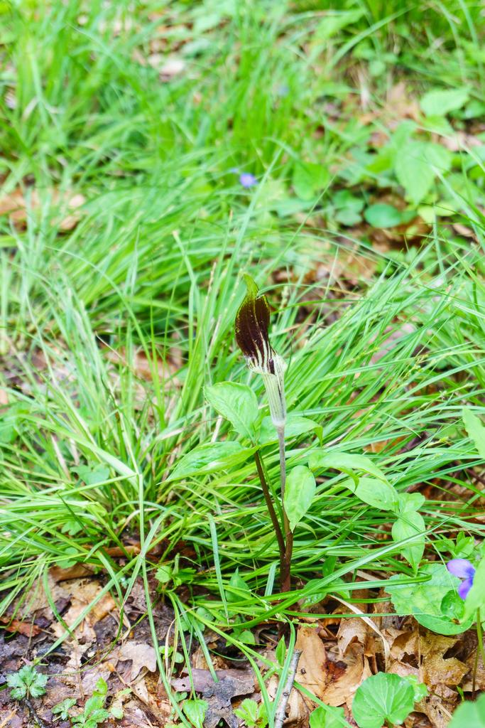
All Photos from the Trail


GPS Map
Map Information
Download GPS Data
Click on a route, trail, or point on the map and select the GPS Data tab to download its data.
Data Formats
KML (Google Earth)
KML is the main file type used by Google Earth. If you have Google Earth installed, clicking the KML link should open the trail or point directly in Google Earth for viewing. This is the native file format used by Google Earth, but many other map applications can use and understand KML as well, so if you're not sure which one to download, KML is a good bet.
GPX
The GPX format stands for GPS Exchange - a free, open, XML format for exchanging GPS and map data. GPX is compatible with Google Earth, many other mapping programs, and most GPS devices (such as Garmin). Load the file directly into your GPS to help find your way on your next trip!
GeoJSON
GeoJSON is a newer, lightweight data exchange format which can be used to quickly share map data and may have a smaller size than KML or GPX. Many professional mapping and GIS applications support the GeoJSON format.
About the Map
Copyright
Base Layers
Base layers provided by OpenStreetMap, the US Geological Survey, the US Forest Service, and NC OneMap. Base layer images are subject to the respective copyright policies of their owners. Base layers may not be available at all times due to system maintenance or outages.
WNCOutdoors Base Layer
The WNCOutdoors Base layer is provided by WNCOutdoors.info. It is licensed by Creative Commons Attribution 3.0.
Trail and Marker Overlays
Trail layers and downloadable data are all original works created by WNCOutdoors with guidance from a variety of sources, including ensembles of our own GPS tracks, user contributed GPS tracks, official maps and GIS data from government agencies, and field observations. WNCOutdoors data is made freely available under the Open Database License - you are free to copy and use it for any purpose under the terms of that license (summary).
Tips
- Hover over a trail to see it highlighted. Helps to see start and end points for an individual trail.
- Scroll and zoom the map before printing, and that view will persist into the printed image.
- Click a trail for more details and to download it individually.
Trail Segments
Trails are often made up of several connecting paths which may have different characteristics, allowed uses, and seasons. This trail is divided into multiple segments as follows:
Avery Creek - Crossing to Buckwheat Knob
- Allowed Uses: Hiking, Mountain Biking
- Length: 2.34 mi
Buckhorn Gap - Avery Creek Crossing
- Allowed Uses: Hiking, Mountain Biking
- Length: 68 ft
Avery Creek - FS 475 to Avery Creek Crossing
- Allowed Uses: Hiking, Mountain Biking
- Length: 0.83 mi
Total Calculated Length: 3.19 mi
This value is derived from our underlying map data, and it may not match officially published information.
Feedback
Ratings
Average Rating: 4.1 (rated 8 times)
Rate It Now:

No comments yet.