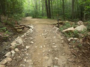
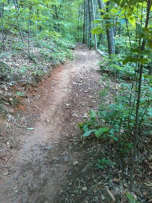
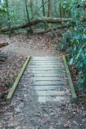
Easy, hardpacked trail with an easy, armored rock creek crossing on the upper end. From Boyd Branch Road to the creek crossing, the trail has been graded and graveled, smoothing out a formerly rocky, rooty stretch. The creek crossing itself is no...
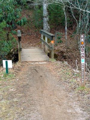
Connects the Bent Creek Campground with Bent Creek Gap Road. A smooth, level old roadbed which follows Bent Creek part of the way. Interpretive signs. Mixed pine-hardwood forest. Nice bridge right before intersection with Bent Creek Gap Road.
Short, but fun loop. Have a few extra minutes after your longer ride at Bent Creek? Hit this one for a nice finish. Steep in places; passes a small wildlife opening. Mostly doubletrack on old roadbeds but one section is true singletrack on the side...
Starting at the Rice Pinnacle parking area, the trail is paved up to the former Deer Lake Lodge site and crosses a long wooden bridge along the way. Beyond the old lodge, which is now marked by a clearing on the right, the trail turns sharply left...
Travels on mostly old roadbeds; mostly doubletrack. Fast in places. Crosses Beaten Branch a couple of times on the northeast end; this can be wet. Only a couple of steep sections; re-routed section near Cold Creek Knob Road is true singletrack, and...
Although we've been riding this for years, it was never an official trail by Forest Service standards. The old trail followed an old road bed from just below North Boundary Road to the top of Laurel Branch Road. The connector between North Boundary...
This trail is a great warmup to the rest of your ride at Bent Creek. From the Hardtimes trailhead, a short climb is followed by a short but fantastic singletrack downhill to Bent Creek Ranch Road. Just bumpy and rocky enough to spice up the extremely...
This trail was recently completely re-graded. Most technical obstacles have been removed. Travels along the shore of Lake Powhatan. Passes through the beach area and past the dam, then downstream along Bent Creek. A few fun footbridges and...
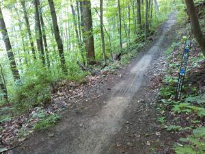
Some stretches are level, but has a decent overall elevation change from end to end, making for some steep places and great downhills too. Follows an old road bed on the bottom 3/4; upper 1/4 is built for trail. Recently the entire trail has been...
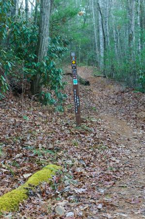
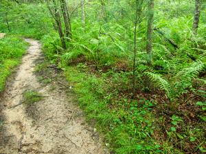
Connects Wolf Branch trail to Rice Pinnacle Road (FS 479E), crossing Wolf Branch at a muddy area with huge ferns along the way. Climbs moderately toward the road through a young forest. Watch for blazes.
Starting at Boyd Branch Road, the trail climbs through several switchbacks through logged areas. The surface is a logging road which used to be a singletrack trail historically called Sidehill, but was revived into a road around 2005 (and is now...
I recommend riding this from Bent Creek Gap Road down to Boyd Branch road. In this direction, a short, steep climb with loose, medium sized rocks is followed by a delicious downhill (fast and moderately steep/technical) to Laurel Branch road. This is...
From Laurel Branch Road and Lower Sidehill trail, this is downhill to Bent Creek Gap Road. A short, fun trail with some great jumps. Passes through a nice hemlock grove.
Near the bottom this is a wide gravel road with large water turn-outs which make great jumps if heading downhill. Higher up, as it approaches Ingles Field Gap, the road narrows into doubletrack and even singletrack. Beyond Ingles Field Gap, the trail...
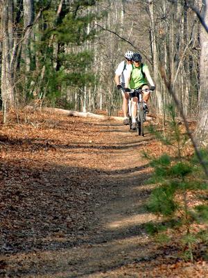
Fun, moderately technical and moderately climbing loop. Follows Bent Creek closely along its lower portion; this part is true singletrack with some of it on old roadbeds. Rest is mostly doubletrack on old road beds; some graveled portions. Fast, with...
Most of this trail was turned into a road during 2005. From Ledford Gap to Boyd Branch Road, it is a gravel road and will be permanently maintained that way. Not a trail. From Boyd Branch Road to Ingles Field Gap, it is currently an unimproved road...
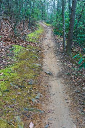
Follows a small creek through young, mixed forests with plenty of the usual rhododendron and mountain laurel. Has recently been re-graded with some new bridges installed. Some parts are steep and some technical sections remain.
Travels through the relatively flat stream bottoms at the base of the mountains. Near the western end of this trail, you can see the hills rising out of the valley, and you'll start to climb them before you reach Ledford Branch Road. There used to be...
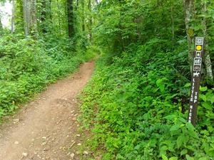
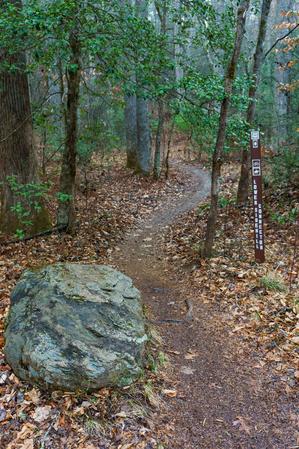
1.2mi, Climbs Moderately, Some Obstacles
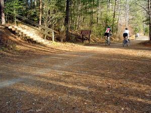
Nearby Trails
The following trails cross into this trailhead area, but are primarily accessed from another trailhead: